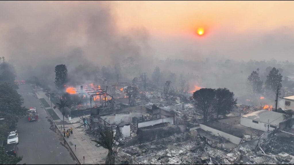
In the heart of the Sooner State, where grasslands stretch like an emerald canvas and resilience runs deeper than oil wells, a landscape of loss now unfolds. Flames, voracious and merciless, have swept through Oklahoma’s rural communities, leaving behind a charred testament to nature’s unpredictable fury. Hundreds of homes reduced to ash, families standing amid smoldering remnants, and a community bracing to rebuild—this is the stark reality facing Oklahomans in the wake of devastating wildfires that have transformed familiar terrain into a landscape of destruction. The scorched landscape stretches across rural communities, revealing a grim aftermath of nature’s destructive power. Blackened earth and skeletal remains of homes stand as stark reminders of the rapid wildfires that swept through Oklahoma’s vulnerable regions. Residents emerged from shelters and evacuation centers, their faces etched with a mixture of shock and resilience.
Preliminary assessments show over 300 residential structures completely obliterated,with hundreds more suffering significant damage. Counties like Beaver, Harper, and Texas experienced the most severe impacts, where wind-driven flames consumed everything in their path with unprecedented speed and intensity.
Local emergency management teams worked tirelessly, coordinating damage evaluations and providing immediate support to displaced families. Aerial surveys conducted by state officials mapped the extensive destruction, revealing entire neighborhoods reduced to ash and twisted metal.
Ranchers faced devastating losses, with thousands of acres of grassland transformed into barren, charred terrain. Livestock populations suffered significant casualties, compounding the economic strain on agricultural communities already wrestling with challenging conditions.
Meteorological data suggests unprecedented drought conditions and high winds created perfect combustion environments. Some regions experienced wind speeds exceeding 50 miles per hour, propelling flames across vast stretches of dry prairie landscape.
Community centers and local churches transformed into emergency support hubs,offering shelter,clothing,and critical resources for families who lost everything. Volunteers from surrounding counties arrived with supplies, demonstrating the characteristic Oklahoma spirit of mutual support during crisis.
Governor’s emergency declarations facilitated rapid resource allocation, with state and federal agencies mobilizing quickly to provide relief. Insurance adjusters began preliminary damage assessments, anticipating complex and lengthy recovery processes for affected residents.
Environmental experts warned of potential long-term ecological consequences,noting that these wildfires could significantly disrupt local ecosystems and agricultural sustainability. The rapid landscape transformation would require years of careful restoration and ecological management.
Personal stories of loss intertwined with remarkable tales of survival. Families recounted narrow escapes,with some residents crediting early warning systems and community preparedness for preventing potential human casualties.
As recovery efforts commence, Oklahoma communities demonstrated remarkable resilience. Neighbors helped neighbors, rebuilding not just structures, but the intricate social fabric momentarily torn apart by nature’s unforgiving force.


